The relationship between food production and deforestation is becoming increasingly clear. A new global dataset connects agriculture, trade, and consumption. This provides better insight into which commodities drive forest loss and how demand influences it.
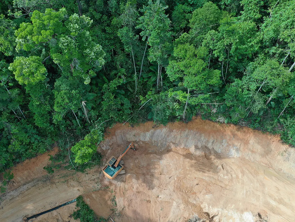
Deforestation is defined here as the permanent replacement of natural forest. Satellite data detect global tree cover loss at high resolution. The model then determines which land use replaced the forest.
Where crop-specific satellite data are available, the attribution is direct. This applies to soy, palm oil, cocoa, and rubber, among others. In other cases, the model uses national agricultural statistics to allocate shares.
The dataset connects production to international trade flows. Two models show how deforestation moves through supply chains into consumption. This makes clear how demand in importing countries relates to forest loss elsewhere.
The physical trade model follows direct flows of agricultural products between countries. The second model combines these data with economic input–output models. This also reveals indirect links at the consumption level.
Deforestation is spread over five years before being linked to trade. This reflects how agricultural land is used over multiple years.
Each estimate includes an Integrated Quality Index (IQI). A high score means the link is directly based on satellite data. Lower scores indicate statistical allocation based on national figures.
The dataset uses national averages rather than specific suppliers. As a result, it mainly highlights risks within supply chains. The two trade models are complementary and not directly comparable.
Source: Deforestationfootprint.earth
Magazine Voedingsindustrie has been made possible in part by:


© COPYRIGHT 2026 VOEDINGSINDUSTRIE | ALLE RECHTEN VOORBEHOUDEN
Powered by Wallbrink Crossmedia © 2026